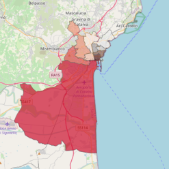
OpenData

  • project image
    CAP

    Load the map View metadata

  • project image
    Circoscrizioni

    Load the map View metadata

  • project image
    Farmacie

    Load the map View metadata

  • project image
    Metro

    Load the map View metadata

  • project image
    Ospedali

    Load the map View metadata

  • project image
    Poste

    Load the map View metadata

  • project image
    Scuole

    Load the map View metadata

SIT Catania

  • project image
    CAP

    Load the map View metadata

  • project image
    Canali_torrenti_e_attraversamenti

    Load the map View metadata

  • project image
    CensimentoAreale

    Load the map View metadata

  • project image
    Censimento da Lista 2022

    Load the map View metadata

  • project image
    Mappatura Acustica Strategica

    Load the map View metadata

  • project image
    Osservatorio Mercato Immobiliare 2022 (OMI)

    Load the map View metadata

  • project image
    Piano_Assetto_Idrogeologico_2024

    Load the map View metadata

  • project image
    Piano Protezione Civile 2020

    Load the map View metadata

  • project image
    Quartieri_Contrade

    Load the map View metadata

  • project image
    SERVIZI

    Load the map View metadata

  • project image
    Sezioni, Affluenze e Risultati Elezioni Amministrative 2023

    Load the map View metadata

  • project image
    Sezioni_Elettorali

    Load the map View metadata

  • project image
    VINCOLI_E_TUTELE

    Load the map View metadata

  • project image
    S_Agata_2023

    Load the map View metadata

  • project image
    CircoscrizioniStranieri

    Load the map View metadata

  • project image
    Circoscrizioni_Popolazione

    Load the map View metadata

  • project image
    CSTORICO

    Load the map View metadata

  Base Layer

project image

Title
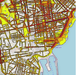
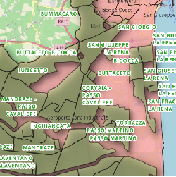
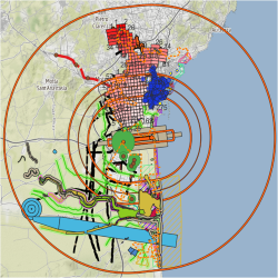
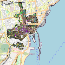
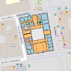
Edifici_di_interesse 

Description
N.B.: I dati pubblicati hanno solo un valore statistico e non probatorio.

I file dwg da cui sono stati ricavati i pdf visualizzabili sono stati realizzati:

1) da "ATISS CONSORZIO" per la "Gestione delle emergenze" del Comune di Catania;

2) dallo "Studio di fattibilità per il riuso dei grandi contenitori edilizi urbani" - "Recuperare Catania - Associazione professionale tra ingegneri ed architetti" - Comune di Catania;

3) da elaborazioni di questo Ufficio S.I.T. del Comune di Catania, per quanto attiene la caratterizzazione delle destinazioni d'uso degli ambienti di alcuni edifici.

4) Dal "Progetto del Centro Sociale di Nesima Inferiore nel quartiere di San Leone" - Comune di Catania (progettisti: Arch. Ezio Rizzo, Ing. Antonio Maria Spina, Arch. Maurizio Spina)


Projection
EPSG:3857 

Extent
1674325.23940000007860363, 4507857.04229999985545874, 1680977.40519999992102385, 4511611.5542000001296401

 Locating 

 Geolocation 

 Print 

 Measures

 Tooltip 

 Draw